 This map, graphically displaying the biogeographical distribution of the black rhino population (viewed here), shows the native habitat of black rhinos in sub-Saharan Africa. An interesting facet of this map is how the area demarcating the native population of black rhinos is featured in red, thus insinuating the dire threat facing the black rhino and perhaps even implying its status as an endangered species. Such subtle clues can help to evoke subconscious emotions in the viewer.
This map of California's National Parks can be viewed here. I found this map intriguing as it portrays all of California's National parks, thus celebrating the natural wonders located throughout the state. However, despite California's televised fame with beautiful beaches abounding throughout the entire coast, the only coastal enclave nationally recognized for it's beauty is Channel Islands National Park, with the rest of the state's National Parks located farther inland. Ironically, the map also includes freeways, iconic of California's consumer culture typically represented as destroying the natural environment. It is these two conflicting ends that draw both my ironic sense of humor and interest to this map.
 This map can be found here. I appreciate this map for its unique perspective of the physical geography of the world; there is no reason why North should always be viewed as "up," but rather this is a social construction that society has adopted as the norm. Rather, this portrayal of the physical landmasses and water is just as accurate as a "normal" map with north facing up, yet its portrayal challenges the thinking of its viewers.
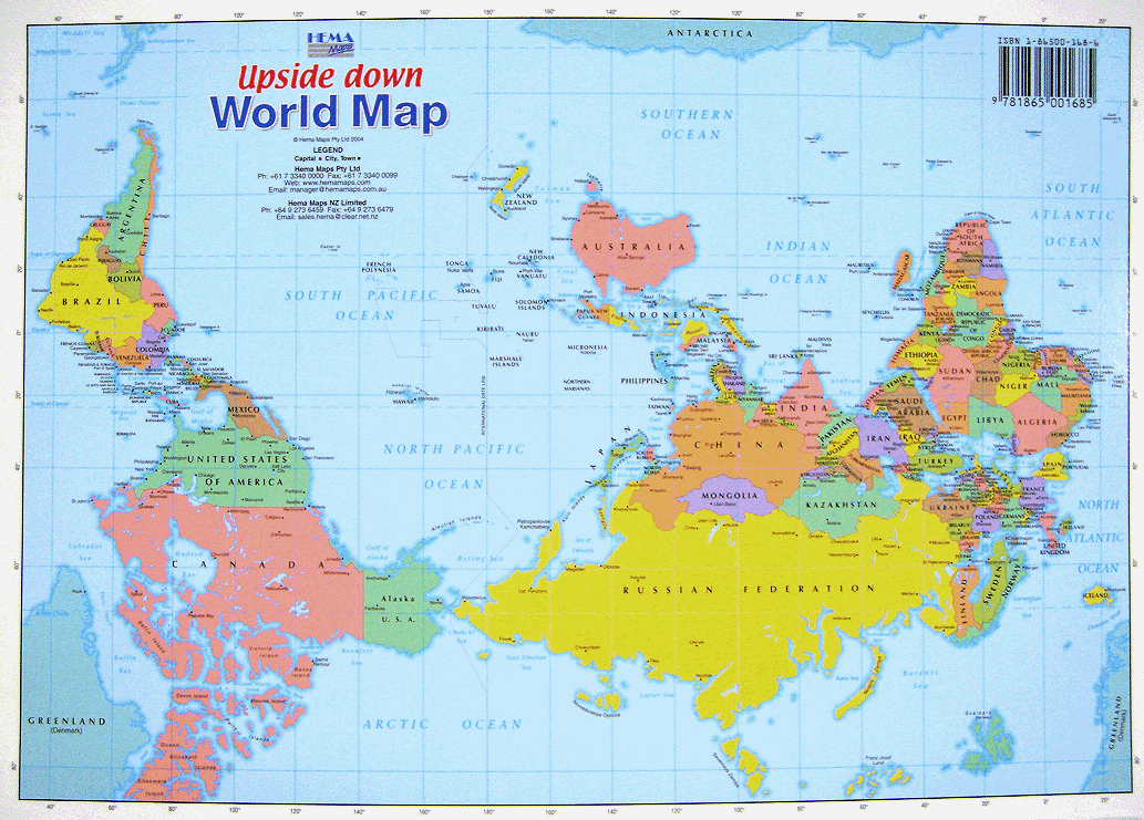
No comments:
Post a Comment